Access to support for heating oil
The Government has announced additional funding to support low-income and rural households that rely on heating oil.
Your Council
Your Council tasks
- View upcoming elections, parish polls and referendums
- View election results
- View job vacancies
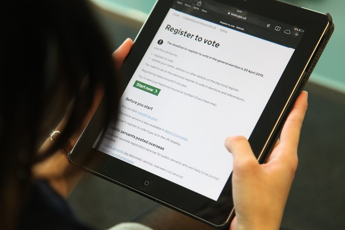
- Register to vote
- Where is my local polling station?
- Committee meeting dates
All tasks
Councillors and Committees tasks
- Committee meeting dates
- View the Cabinet work programme
- Becoming a Councillor
- Councillors allowances, expenses and attendance
- Delegated Decisions
- Find out about Councillors and decision making

All tasks
Voting and Elections tasks
- View upcoming elections, parish polls and referendums
- View election results
- Register to vote
- Where is my local polling station?
- Apply for a postal vote
- Voter ID (Elections Act 2022)
All tasks
Parish and Town Councils tasks
- Directory of Parish and Town Council Clerks
- Parish and town councils precept
- View ward and parish boundaries map
- Register of Members Interest form
- View registers of Parish Council interests

All tasks
Council Facts and Figures tasks
- View the Council's statement of accounts
- View the Council budget
- Make a Freedom of Information (FOI) request
- View the Council's financial strategy
- View Contracts Register
- View the Council’s treasury management strategy

All tasks
Have your say tasks
- Compliments, complaints and comments
- Council consultations
- How to petition the Council
- Petitions submitted to the Council
- Public speaking at committee meetings
- Report inappropriate conduct by a Councillor

All tasks
Council Jobs and Employment tasks
- View job vacancies
- Meet some of our apprentices
- Apply to join the talent bank
- Apply to join the temporary register
- Apply to work at elections
- Employee benefits at NNDC