Access to support for heating oil
The Government has announced additional funding to support low-income and rural households that rely on heating oil.
Your Community
Your Community tasks
- Apply for a Blue Badge
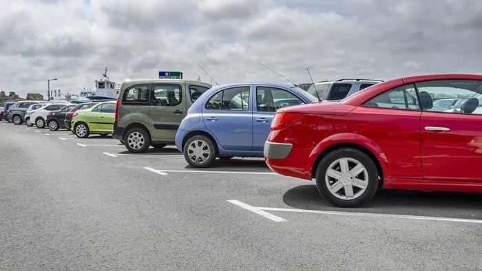
- Buy a car park parking permit
- Coach parking in North Norfolk
- Electric vehicles and EV charging points
- View car parking locations
- Countryside events and activities
All tasks
Transport & Streets tasks
- Apply for a Blue Badge
- Buy a car park parking permit
- Electric vehicles and EV charging points
- View car parking locations
- View car park charges including coaches
- Pay parking fine
All tasks
Country Parks tasks
- Countryside events and activities
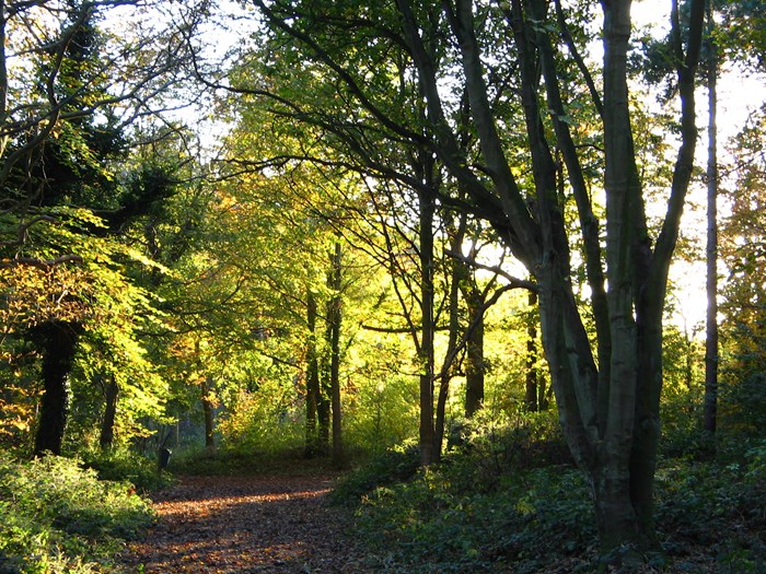
- Find out about Holt Country Park
- Find out about Sadlers Wood
- Find out about Pretty Corner Woods
- Find out about volunteering opportunities
- Book a countryside event
All tasks
Beaches tasks
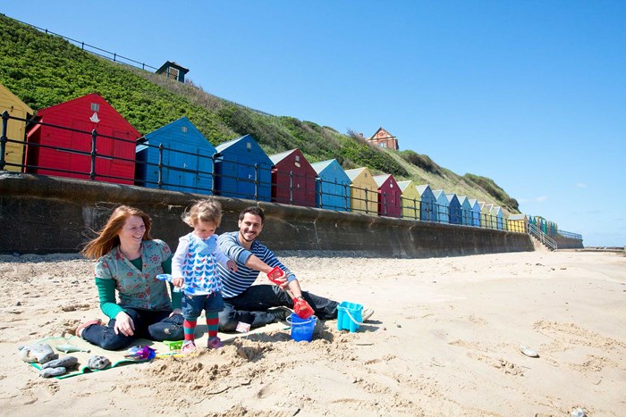
- Book a beach hut, chalet or beach hut site
- Lease a chalet or beach hut site
- Where you can and can't take your dog
- View beach and bathing water quality
- Apply to hold a beach BBQ or event
- Coastal safety
All tasks
Sports Facilities tasks
Go to Sports Facilities
All tasks
Community Grants and Funding tasks
- North Norfolk Sustainable Communities Fund details
- Arts and Culture Fund details
- Community Transport Fund details
- Previous awards for Sustainable Communities grant fund
- Previous awards for Arts and Culture fund grant
- Previous awards for Community Transport fund grant

All tasks
Schools & Learning tasks
- Complain about a school
- Find out about local library services
- Find out about school admissions
- Find out about school transport
- Find out about your local catchment area
- View advice on adult learning

All tasks
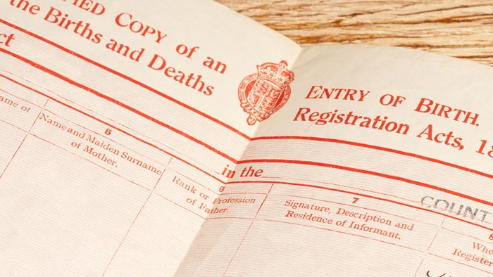
Births, Deaths and Marriages tasks
- Foreign pension: proof of life and residence
- Register a birth
- Register a death
- Weddings and civil partnerships